Watershed Friends’ plant survey and volunteer efforts have identified current areas of Aquatic Invasive Plant Species growth in 2026.
To support our management efforts, boaters and recreationists should steer clear of these areas. Activities such as swimming, paddling, and using boat propellers can cause the plants to break apart, leading to further infestations.
Plant surveys will continue to determine the full extent of growth. Check the interactive map to see where AIS were found in 2024 and 2025.
In 2026, two temporary Surface Use Restrictions (SURs) are in place in our Watershed. Both are on Annabessacook Lake (North End and near Waugan Road).
Map Updated June 2026
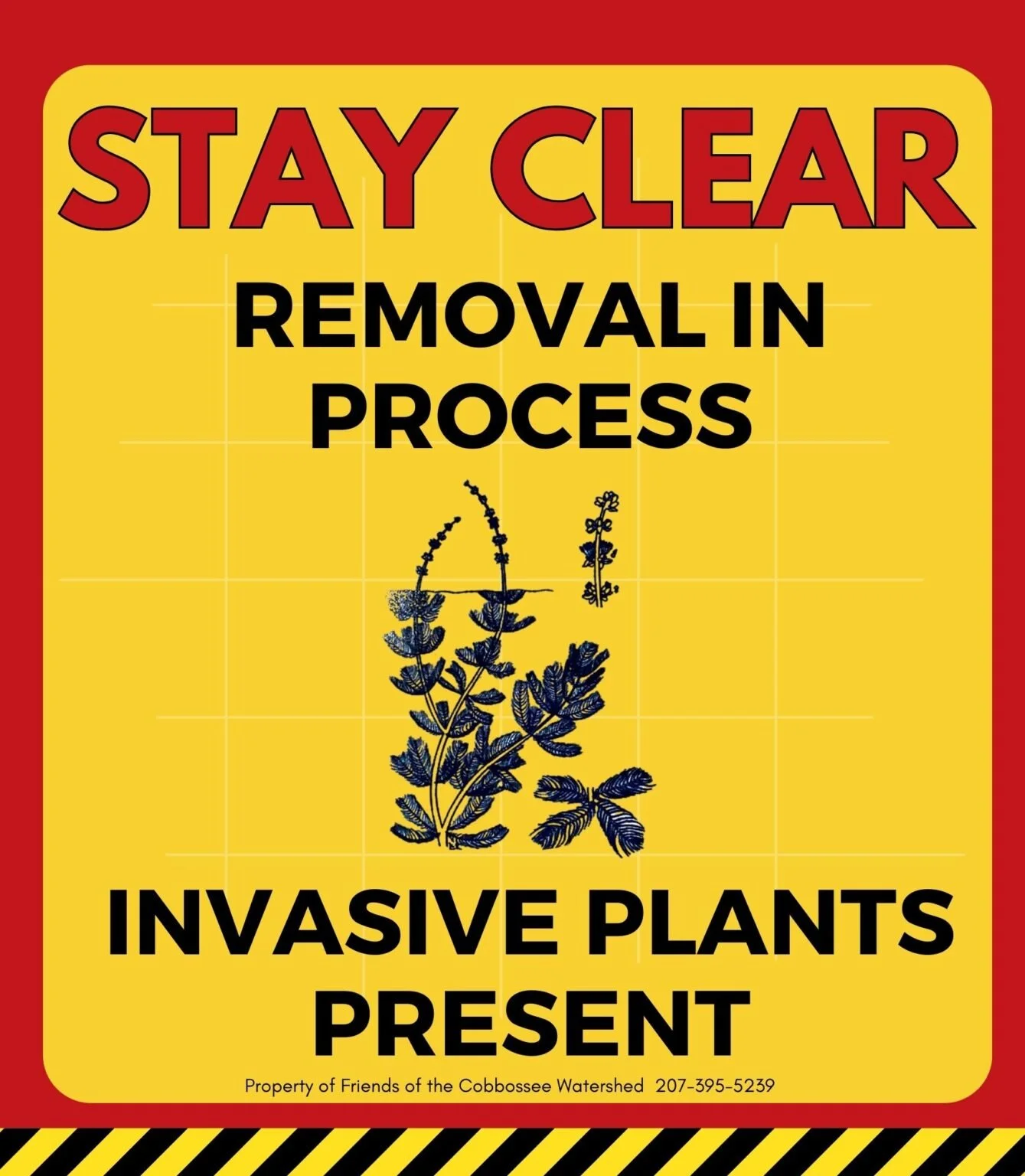
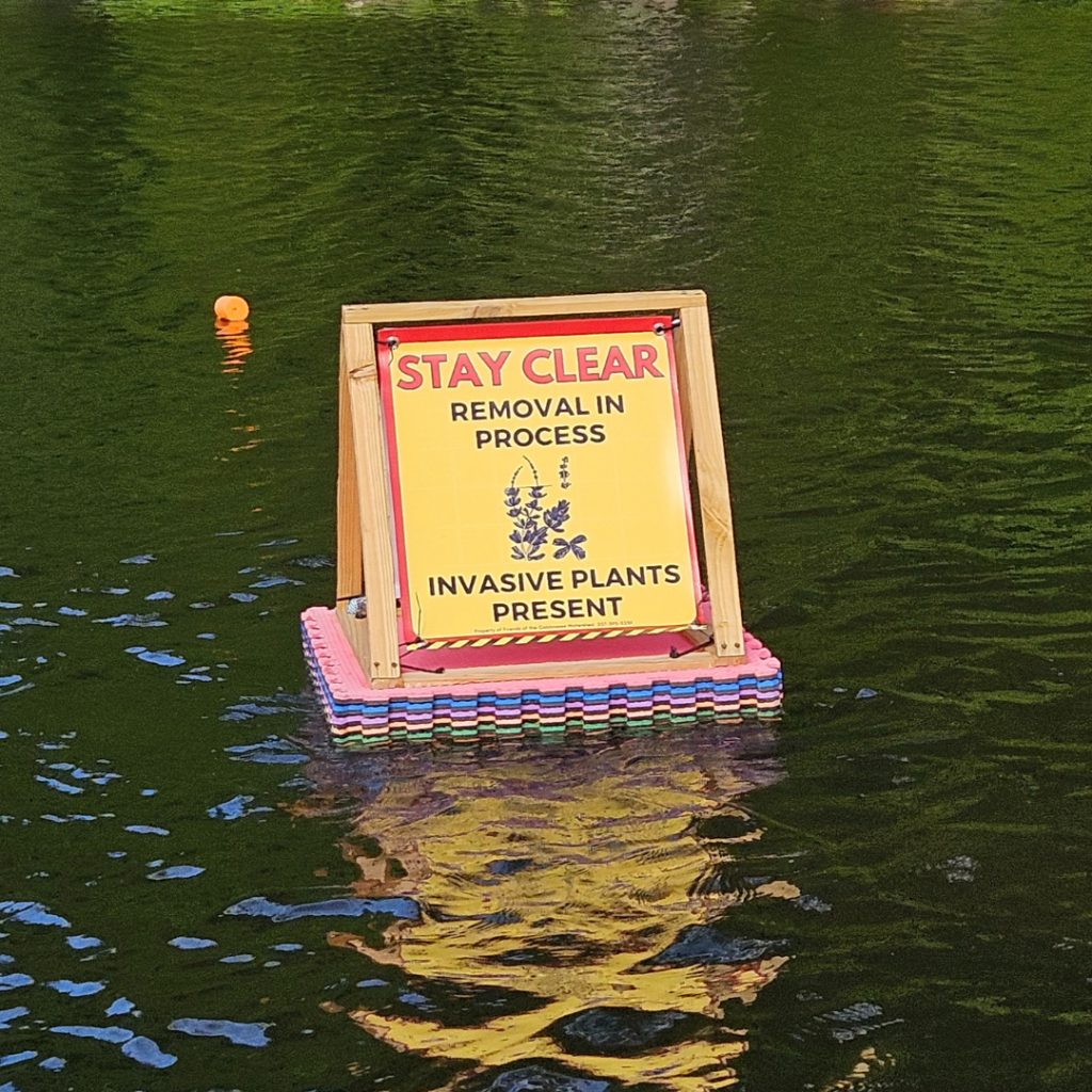
You may see signs on Cobbossee Lake or in the stream with the following message:
Stay Clear. Removal in Process. Invasive Plants Present.
This designates areas where our teams are still removing or otherwise managing invasive species. Giving these markers a wide berth will allow us to manage the infestation most effectively.

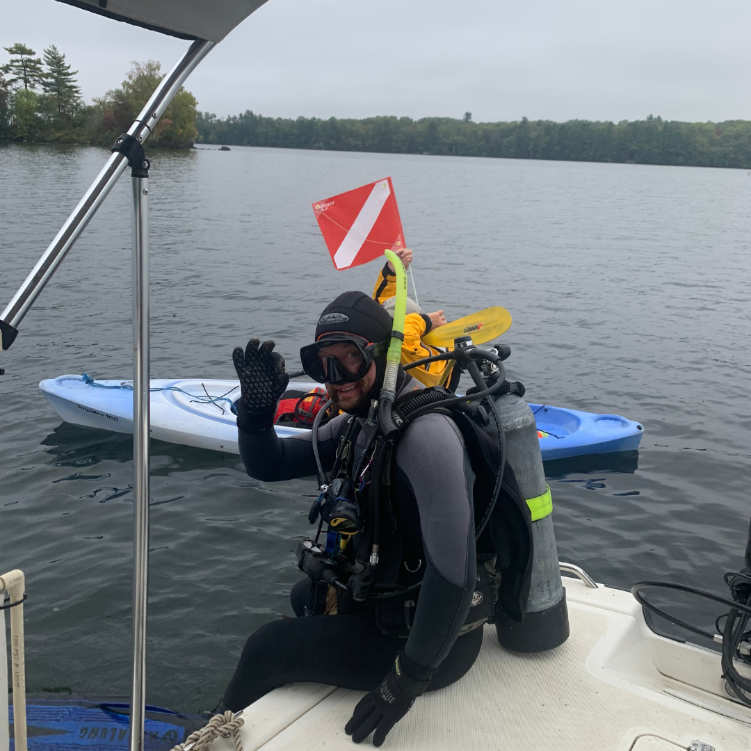
Help keep our teams safe!
While out on the water, keep an eye out for diver down flags and steer clear!